
APK Store
1.0
1 ratings3 MB
SizeVerified
SCREENSHOTS (6)
About the app
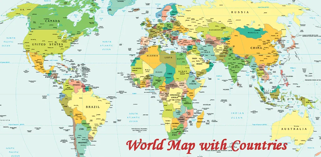
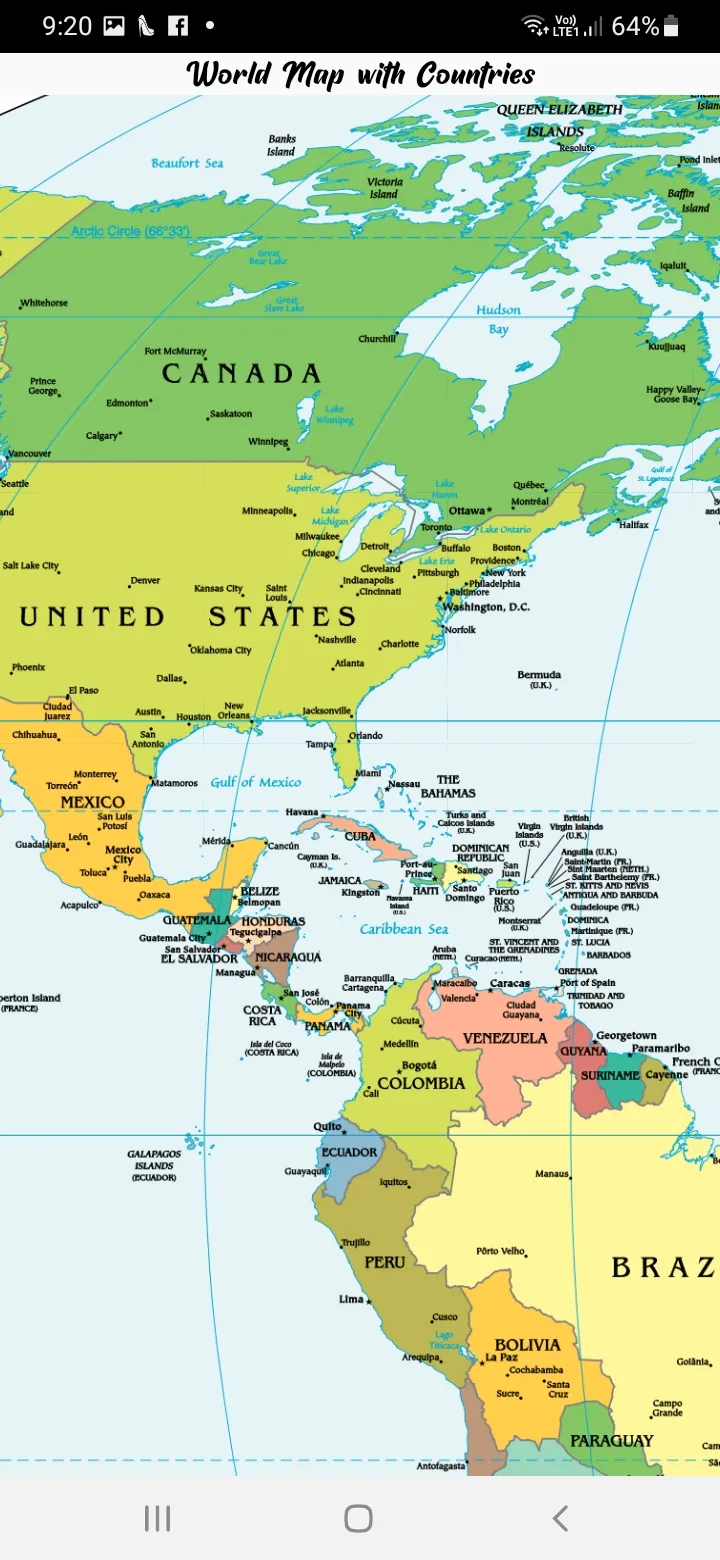
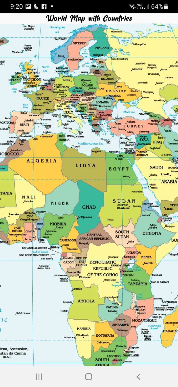
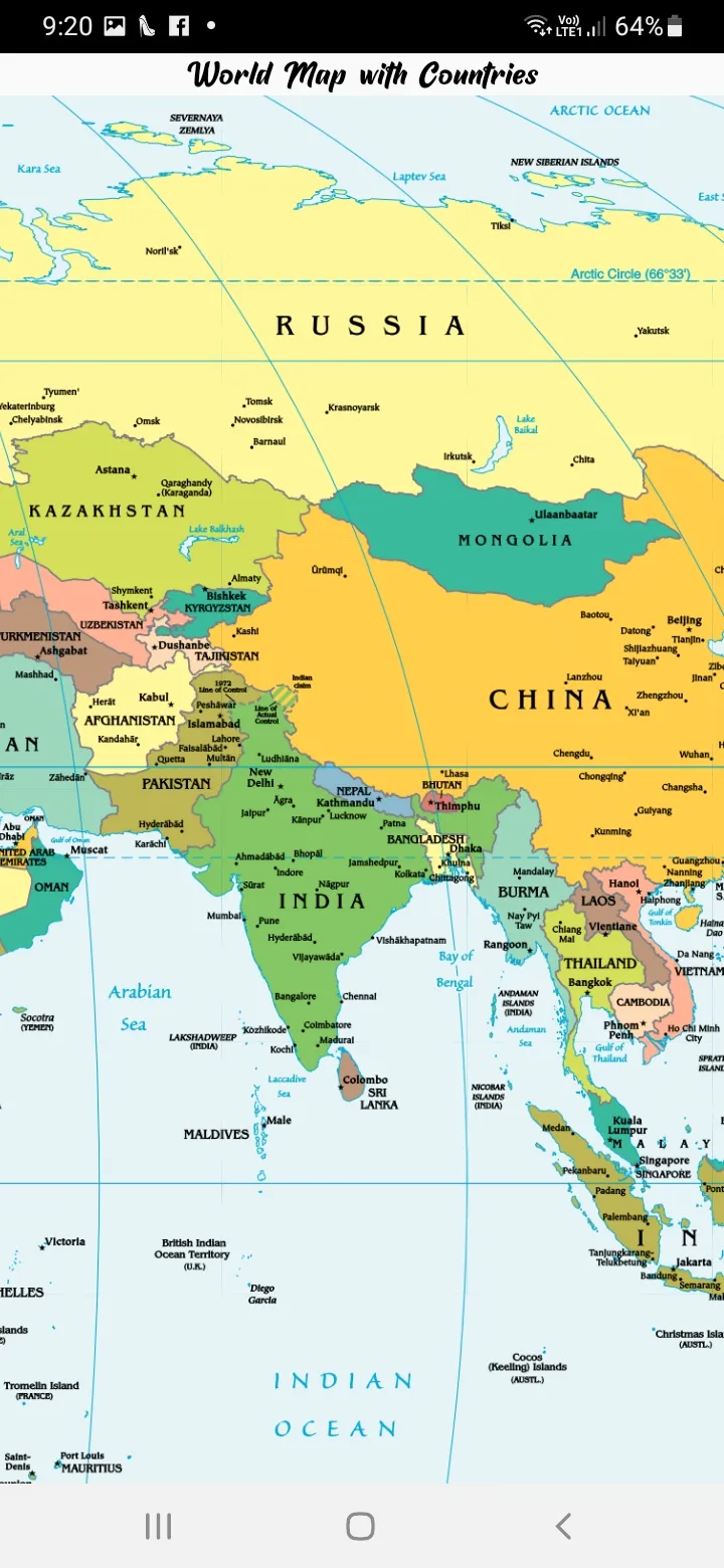
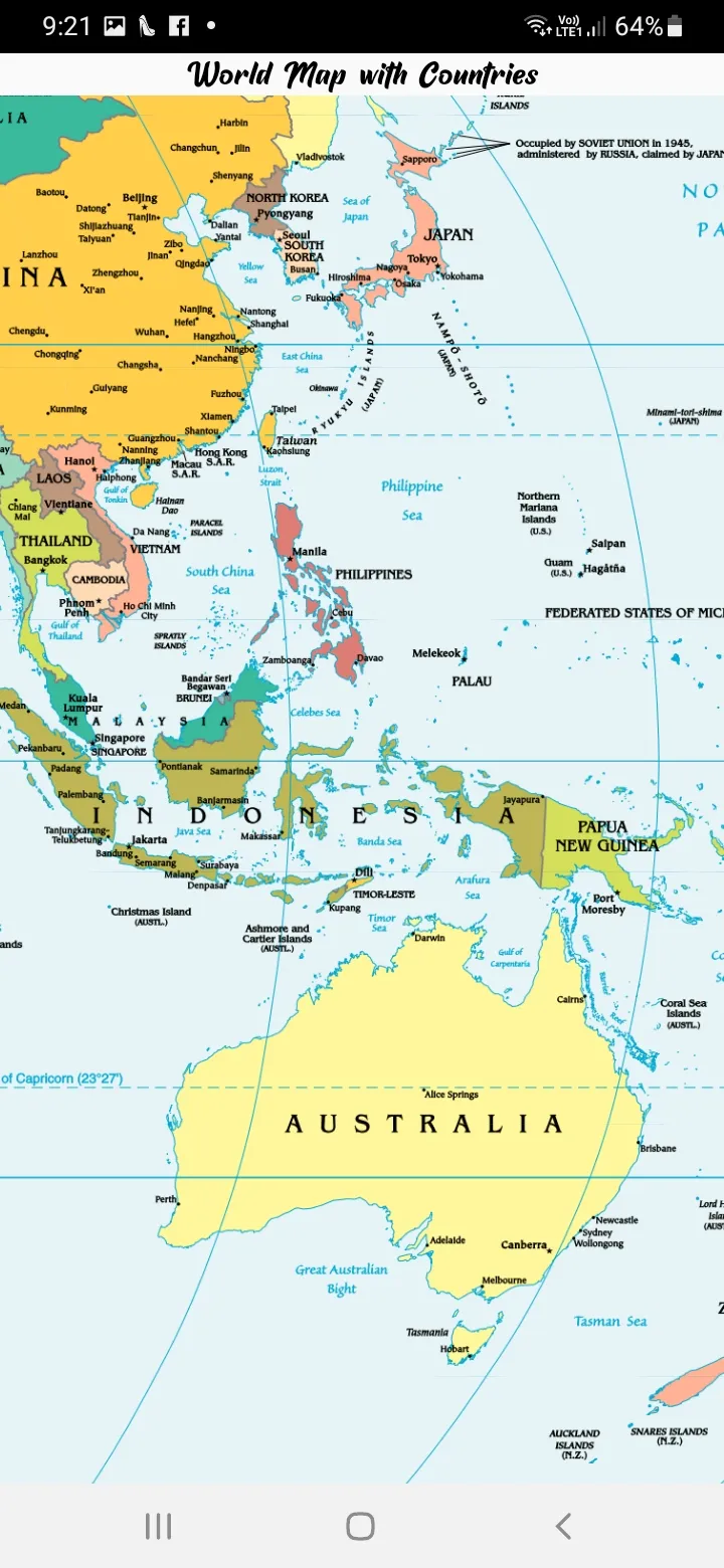
World Map With Countries helps people understand specific boundaries and understand the geographical location of important places in the world.
The World Map With Countries shows continents and the countries, which are part and parcel of continents, transcontinental countries, independent and dependent territories, oceans and seas, large and Small islands, and everything that exists in the world.
The World Map With Countries also indicates the network of lines, which represent meridians and parallels, the geographic coordinate system.
This political world map depicts all the countries with their administrative boundaries.
Our world is divided into not just geographical boundaries, but political divisions as well. This system helps in asserting laws and peace around the world.
About World Map With Countries:-
A world map is a map of all of the surface of Earth.
The World Map With Countries is a graphical representation of the Real world.
The World Map presents a lot of information about the world in a simplified and visual way.
It indicates the land and the seas of the earth.
The Political Map shows 197 countries in the World along with their international boundary and water bodies.
Seven Continents of the World Map With Countries:-
Asia map
Africa map
North America map
South America map
Antarctica map
Europe map
Australia map.
Education
Ratings
1
1 total ratings
5
0%
4
0%
3
0%
2
0%
1
100%
REVIEWS

Preetam Kumar
10/02/2026
pathetic

Permissions
Storage: access photos, media, and files on your device
Internet: use your internet connection
Curated for YouSee all






Scan to download on PhonePe Appstore